

Landsat 9 mapped Maine’s jagged coast shift: sand south of Portland, bedrock east
NASA explains how bedrock type and glacial sediment routing redraw the shoreline from Saco Bay to Casco Bay.

NASA Earth Observatory used Landsat 9 (OLI) imagery from August 31, 2025 to document why Maine’s coast looks sandy and curved south of Portland, but rocky and indented northeast of the city. For decision-makers in coastal industries, the underlying geology and sediment patterns help explain where key fisheries and oyster farming thrive.
On August 31, 2025, NASA’s Landsat 9 (OLI) snapped a clear pattern along Maine: broad, sandy beaches south of Portland and jagged, rocky shoreline northeast of it. The visible “line” in the landscape is not just an aesthetic upgrade for postcard hunters. It is the footprint of two different geologies and how the coast got stuffed with, then reshaped by, sediment after the last ice age.
NASA Earth Observatory credits coastal geologists with the core explanation: “the coastal transition reflects both differences in the underlying bedrock and the distribution of sediment left behind by the last glacial maximum.” In plain English, the land beneath Maine changes, and so does the way rivers deliver sediment to the ocean. That combination determines whether waves can smooth the coast into sandy, arch-shaped embayments or whether erosion bites into rock ridges, valleys, headlands, and narrow peninsulas.
Southern Maine’s story starts with sand that is largely river-sourced. Coastal geologists say Southern Maine has broad deposits of sand, with much of it coming from the weathering and breakdown of the White Mountains. Peter Slovinsky, a geologist with the Maine Geological Survey, explained that sediment reaching the coast is largely transported by the Saco River, including to Saco Bay. Saco Bay matters in Maine not just because it is scenic, but because it is home to Maine’s longest contiguous beach and the state’s largest saltmarsh. In this part of the coast, waves and tides reworked those softer sediments over time, sculpting the arch-shaped embayed beaches and sprawling salt marshes that now define the region.
Then the map flips. While erosion-resistant granite can stick out of sandy shorelines in southern Maine to form rocky headlands, east of Portland metamorphic bedrock becomes the dominant surface feature. Instead of broad sand blankets, you get ridges and valleys made of rock layers that were transformed under high pressure and temperatures. During the last ice age, glaciers scoured and widened many coastal valleys. When the Laurentide Ice Sheet melted and sea levels rose, those valleys flooded. Around Casco Bay, those ridge-and-valley systems, combined with drowning of the shoreline, create the jagged, highly indented coastline and the long, narrow islands visible today.
NASA Earth Observatory also points to a second mechanism that matters for how the coastline erodes: structure. Nicholas Whiteman, also a geologist with the Maine Geological Survey, said the “tortured folds of these old landscapes also set up a sharp directional preference for erosion to exploit.” In other words, the rock history is not neutral. It biases where erosion will run, shaping the orientation of islands and necks that dominate Casco Bay compared with those to the northeast.
For executives and operators, this is where the story stops being geological and starts being operational. Maine’s sandy beaches and tourist-friendly coastlines are more than a branding asset. Coastal economies split across geography in ways that mirror the underlying physical setup. The source notes that while tourists flock to sandy beaches in communities like Saco and Kennebunkport, Maine’s iconic lobster fisheries are concentrated in Midcoast Maine. Lobster habitat depends on cold waters and rocky, protected inlets, which makes Harpswell a leader in lobster landings in the region described by the article.
Oysters add another layer of “same ocean, different outcomes.” Oyster farms are also concentrated in Midcoast Maine, specifically in sheltered waters like Casco Bay and the Damariscotta Estuary. These areas are protected from winds and waves, and they can be accessed without large boats. The operational payoff is that farmers can find microclimates within those waters. NASA’s source explains that variations in temperature, salinity, and other characteristics create these microclimates where oysters can grow quickly and develop distinct taste profiles, known as merroir. Tom Kiffney, a researcher at the University of Maine, describes a team using Landsat and other satellite observations to predict oyster growth rates. The goal is practical: to identify promising locations for new oyster farms in Maine based on water temperatures and quality.
This is also where satellite data becomes more than a science flex. Kiffney is described as part of a team using Landsat and other observations to predict growth rates. That connects directly to the longer history NASA references about using satellite observations for coastal aquaculture site selection, such as work using Landsat 8-derived sea surface temperature, turbidity, and chlorophyll a.
So what should coastal decision-makers take from a coastline lesson that begins with bedrock? The board-level implication is simple: where you invest, expand, or plan capacity is constrained by the physical world long before any business plan is written. Maine’s sandy versus jagged coast is a proxy for sediment delivery, erosion pathways, and water conditions that influence habitat and farm viability. If you are operating lobster or oyster businesses, or funding supply chains around them, the “where” is inseparable from the “why.” And NASA’s Landsat 9 snapshots make that link visible, on schedule, right down to the coastline’s hard boundary lines.
This story's Key Insights and Take-aways are locked.
Create a free account to unlock Executive Actions for one credit.
Register to UnlockAlways free for Executives Club members. Join the Club
More in Science
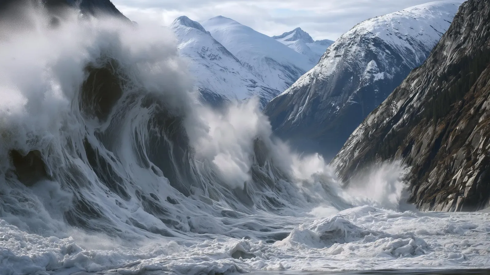
Alaska's 1,580-foot tsunami had warning signs. Scientists just found them.
Rapid glacier retreat, heavy rainfall, and thousands of tiny tremors preceded Alaska's 1,580-foot tsunami, a warning for every coastal community in a warming world.

The rare mutation that lets high-risk brains dodge Alzheimer's
Scientists found a natural defense against protein buildup, opening a new path to preventive treatments.

3,000 steps a day may halve Alzheimer's decline, study finds
New research links a modest daily walk to less tau buildup and nearly half the cognitive and functional decline, even for those with early signs.