

Alaska's 1,580-foot tsunami had warning signs. Scientists just found them.
Rapid glacier retreat, heavy rainfall, and thousands of tiny tremors preceded Alaska's 1,580-foot tsunami, a warning for every coastal community in a warming world.
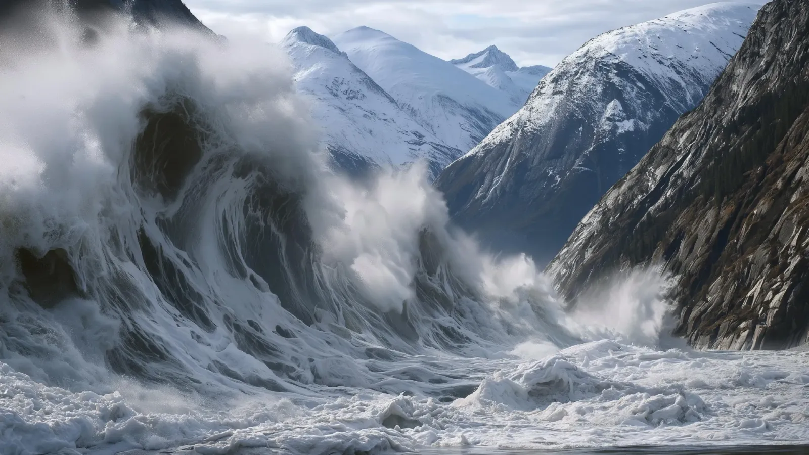
Scientists studying Alaska's landslide-triggered tsunami have identified the warning signs that preceded it. For coastal planners, insurers, and mountain-community leaders, the finding turns glacier retreat and tiny tremors into actionable risk signals.
The second-highest tsunami ever recorded didn't come out of nowhere. When a massive landslide slammed into Alaska's remote coastline, it sent water and debris 1,580 feet up a mountainside, and it happened just hours after tourists had visited the area. Now scientists say the ground had been telegraphing the disaster for weeks: rapid glacier retreat, heavy rainfall, and thousands of tiny seismic tremors preceded the collapse.
That discovery, reported by researchers studying the event, transforms what looked like a freak natural disaster into a case study in early warning. The 1,580-foot surge is the second-highest tsunami ever recorded, a reminder that the forces reshaping icy coastlines are not gradual. The fact that it struck after tourists had left underscores how narrow the margin can be between a scenic visit and a catastrophe. The timing is a reminder that these events do not announce themselves with sirens; they arrive on the heels of subtle, measurable changes. For anyone who lives, works, or invests in mountain-adjacent coastal zones, the message is direct: the ground gives clues before it gives way.
The warning signs, scientists say, were all present in the days and weeks before the landslide. The region's glaciers had been retreating rapidly, a process that removes the natural support that ice once provided to steep mountain slopes. Heavy rainfall had saturated the ground, adding weight and reducing friction. And seismic instruments had recorded thousands of tiny tremors, which scientists now read as the sound of a slope slowly coming apart. None of these signals alone would have been enough to predict the event, but together they formed a recognizable pattern. The combination is a red flag that scientists can now look for elsewhere, and it is one that may already be waving in other glacier-fed valleys.
For context, glaciers act as a buttress, holding up the rock and sediment behind them. When they melt, the slope is left unsupported, and gravity takes over. Rain adds further stress, and the tremors are the audible signature of cracks forming deep within the mountain. In this case, the final failure was a landslide so large that it displaced enough water to create a wave that ran 1,580 feet up the opposite mountainside (a height that exceeds the Empire State Building's 1,454 feet). The scale of the wave is what makes the event so extraordinary: it is the second-highest tsunami ever recorded, a statistic that puts it in the same league as the most violent oceanic events on Earth.
The broader implication is unsettling. As climate change accelerates glacier retreat worldwide, the conditions that produced this tsunami are becoming more common. The researchers behind the discovery warn that similar disasters could become a growing danger in mountainous coastal regions. The same warning signs - retreating ice, heavy rain, and seismic tremors - may already be accumulating in other vulnerable valleys. The Alaska event is not an anomaly; it is a preview.
For decision-makers, the finding raises a practical question: how to monitor these signals before the next slope gives way. The tools to do so - satellite imagery for glacier retreat, weather models for rainfall, and seismic networks for tremors - already exist in other contexts. The challenge is deploying them systematically in the places where glaciers are vanishing fastest. Coastal communities, infrastructure operators, and insurers in glacier-adjacent areas now have a checklist of precursors to watch, but the window for action is measured in years, not decades. The challenge is not just technical; it is also institutional. Monitoring systems require funding, coordination, and a willingness to act on ambiguous signals.
The stakes are not abstract. The Alaska event sent water and debris 1,580 feet up a mountainside, and it happened hours after tourists had been in the area. That timing is a stark reminder that the risk is not a slow-moving one; it can materialize in a single afternoon. For communities in mountainous coastal regions, the new research offers a way to see it coming - if they choose to look. The question is whether the warning signs will be heeded before the next mountain lets go.
For the insurance and infrastructure sectors, the event is a case study in how climate risk is evolving. It is not only about sea-level rise or heat waves; it is about the sudden, catastrophic failure of landscapes that have been stable for millennia. As glaciers retreat, the mountains themselves become a new class of hazard. The Alaska tsunami is a warning shot, and the scientists who decoded its precursors have handed decision-makers a rare gift: a chance to act before the next wave. The cost of inaction is not just economic; it is measured in lives and communities.
This story's Key Insights and Take-aways are locked.
Create a free account to unlock Executive Actions for one credit.
Register to UnlockAlways free for Executives Club members. Join the Club
More in Science

The rare mutation that lets high-risk brains dodge Alzheimer's
Scientists found a natural defense against protein buildup, opening a new path to preventive treatments.

3,000 steps a day may halve Alzheimer's decline, study finds
New research links a modest daily walk to less tau buildup and nearly half the cognitive and functional decline, even for those with early signs.

France euthanized Félicette, the first cat in space, two months after her flight
Félicette's 1963 flight made France a space-race player, but her euthanasia and a crowdfunded statue reveal how high-risk programs are remembered.