
Meteomatics’ Meteobase swaps helium balloons for automated drone weather profiles
A ground base launches, recovers, and downloads pre-programmed drone flights to study the boundary layer better.
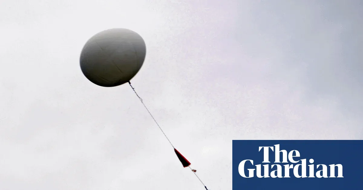
Meteomatics is pushing a new approach to atmospheric data collection with Meteobase, a ground station that launches and recovers an onboard drone automatically. The shift changes how weather research can sample key altitudes, with implications for cost, supply constraints, and data consistency for decision-makers.
Weather research has a stubborn bottleneck: the atmosphere from ground level to a few thousand metres is crucial, but it is hard to measure in detail. That “boundary layer” matters because weather happens there, yet weather stations are usually too low and aircraft are expensive. The result is a measurement gap that has kept researchers leaning on a legacy workhorse: instrumented weather balloons.
Traditionally, thousands of helium-filled balloons get released every day to gather vertical profiles at different altitudes. But balloons are at the mercy of the wind, and they also rely on irreplaceable helium. Meteomatics is trying to break that dependency with Meteobase, a ground-based base station that can launch and recover a drone automatically, then download the collected data for researchers.
Here is what makes the Meteobase concept strategically interesting. Instead of relying on drifting instruments, it uses pre-programmed flights. The drone is launched from the Meteobase base station, carries out a planned flight that gathers data at different altitudes, and then returns to the base to recharge and download data. In other words, the system turns a one-time balloon release into a repeatable operational loop: fly, sample, return, refresh, and transfer data.
That loop matters because it directly attacks two pain points in the balloon approach. First is predictability. Weather balloons can drift based on wind conditions, which means the sampling path is influenced by the atmosphere rather than tightly controlled flight planning. Second is resource constraint. The source notes that balloons use helium, and that helium is described as irreplaceable in this context. For organizations building long-running measurement campaigns, that single dependency can become a recurring operational risk.
From a research operations standpoint, Meteobase also reframes what “costly” looks like. The source is clear that aircraft are expensive, and weather stations do not reach the right vertical range. By combining an automated ground base with a drone designed for recovery and data downloading, Meteomatics is aiming at a middle path between low-altitude ground instrumentation and high-cost airborne platforms.
For decision-makers, the second-order question is whether this approach scales into reliable data pipelines. A base station that can repeatedly launch and recover drones, then send the data it gathers to researchers, implies a workflow that is less about one-off field logistics and more about managed operations. In practice, that can mean faster iteration on measurement campaigns, more consistent sampling routines, and potentially tighter integration with how teams plan experiments across different days and conditions.
There is also a policy and compliance angle, even though the source does not go into specifics. Drones operating in weather research will typically intersect with aviation rules, airspace restrictions, and operational safety requirements. A system like Meteobase, which automates launch, recovery, and data handling, can make it easier to standardize procedures at a site, but it also means regulatory approvals and local constraints can become key determinants of where and how quickly such systems can expand.
Strategically, Meteomatics is positioning itself in a domain where data quality, availability, and operational constraints determine who can run more frequent or more detailed studies. If drones can consistently capture profiles across the boundary layer without the helium dependency and without the unpredictability of wind-drift balloons, then the competitive advantage is not just “new tech.” It is a stronger measurement capability that can change what research teams and operational stakeholders decide to trust. For boards and leaders in adjacent weather, climate, and sensing businesses, the stake is clear: as automated, recovered drone systems mature, the default measurement toolkit for the lowest few thousand metres of atmosphere could start shifting away from balloon releases and toward repeatable flight infrastructure like Meteobase.
This story's Key Insights and Take-aways are locked.
Create a free account to unlock Executive Actions for one credit.
Register to UnlockAlways free for Executives Club members. Join the Club
More in Science

Alaska's 1,580-foot tsunami had warning signs. Scientists just found them.
Rapid glacier retreat, heavy rainfall, and thousands of tiny tremors preceded Alaska's 1,580-foot tsunami, a warning for every coastal community in a warming world.

The rare mutation that lets high-risk brains dodge Alzheimer's
Scientists found a natural defense against protein buildup, opening a new path to preventive treatments.

3,000 steps a day may halve Alzheimer's decline, study finds
New research links a modest daily walk to less tau buildup and nearly half the cognitive and functional decline, even for those with early signs.