
Moonquakes may map buried lunar ice by listening to vibrations, not just looking
A new approach turns lunar “moonquakes” into a sensor for water ice under south polar craters, changing what missions measure first.

Researchers suggest moonquakes could be used to reveal ice buried beneath lunar south polar craters by detecting the right vibrations. If you can infer ice location from seismic signals, mission design and investment priorities for lunar water could shift quickly.
Finding water on the moon may only be a matter of detecting the right vibrations. That is the core idea behind the latest push to use moonquakes to reveal ice buried beneath lunar south polar craters.
The implication is immediate for anyone planning lunar operations: instead of relying only on remote sensing that hunts for signs of ice from orbit, you can treat the Moon like a natural lab that rings when it moves. The vibrations from those moonquakes, the source notes, could act as the readout that tells scientists where ice is hidden. In other words, the “signal” is not a visual feature. It is a physical response, interpreted through the way sound and energy travel through the Moon’s crust.
Why this matters goes beyond academic curiosity. Water on the lunar surface and near-surface is one of the biggest constraints on whether the Moon stays a science destination or becomes an operational one. In many lunar mission concepts, water is valuable not just as a target for discovery, but as a practical resource for supporting missions, including life support and fuel production. Even if you ignore the full industrial storyline, there is still a strategic reality: the first reliable map of where water is likely to be, and how accessible it is, can change landing site selection, instrument loadouts, and timelines.
This is also a reminder of how lunar science and space commercialization often move in parallel. Scientific instruments and mission architectures increasingly share goals, but they do not always share the same measurement strategy. If moonquakes can indicate buried ice, then the right vibration data becomes a high-leverage asset. Companies and research teams that can capture it, interpret it, and turn it into actionable maps can shorten the uncertainty cycle that normally drags down projects. Less uncertainty usually means faster decision-making, more confident budgeting, and fewer redesigns.
There is a regulatory and policy angle too, even for teams focused on hardware. Agencies and investors care about mission realism, safety, and risk management, which means credible measurement plans. For lunar missions, the idea of using seismic-like signals ties into a broader shift: from “we will look around and hope we find something” toward “we will instrument deliberately and test specific hypotheses.” While the source does not discuss policy directly, the second-order effect is clear. If moonquakes are a route to water detection, then mission success criteria and risk assessments can be framed around whether the lander or relay can collect the necessary vibration data, not just whether it can capture the right images.
Now zoom out one more level. The Moon south polar region is not a blank slate. The presence of craters, the thermal environment, and the way materials are layered all influence how energy moves. That is exactly why vibrations matter: they carry information about subsurface structure. If ice sits beneath or within these craters, it can change how the Moon responds to stress and movement. The source’s emphasis on “detecting the right vibrations” is effectively a promise that interpretation can be grounded in physics, not only in visual inference.
For executives, the practical stake is how measurement strategy influences capital allocation. Lunar programs have to choose where to spend: on propulsion, landing, communications, payloads, and data processing. A technique that points to buried ice through moonquake signatures could change what boards ask about. They may start to treat seismic or vibration-capable payloads as central, not optional. That can affect vendor selection, integration timelines, and even partnership structure, because the value is in the data pipeline from signal collection to interpretation.
And for peers building lunar water roadmaps, the message is simple: the “search” may not require the most dramatic hardware breakthroughs. It may require the right sensor coverage and analysis approach, so that moonquakes become a map, not just a curiosity. If the technique works, it turns a hidden resource question into a measurable engineering problem.
The source keeps it lean: finding water on the moon may only be a matter of detecting the right vibrations. But that sentence carries a lot of weight. It suggests that the Moon itself could provide the clues, if missions are designed to listen properly.
This story's Key Insights and Take-aways are locked.
Create a free account to unlock Executive Actions for one credit.
Register to UnlockAlways free for Executives Club members. Join the Club
More in Science
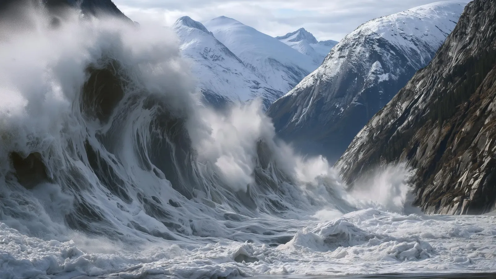
Alaska's 1,580-foot tsunami had warning signs. Scientists just found them.
Rapid glacier retreat, heavy rainfall, and thousands of tiny tremors preceded Alaska's 1,580-foot tsunami, a warning for every coastal community in a warming world.

The rare mutation that lets high-risk brains dodge Alzheimer's
Scientists found a natural defense against protein buildup, opening a new path to preventive treatments.

3,000 steps a day may halve Alzheimer's decline, study finds
New research links a modest daily walk to less tau buildup and nearly half the cognitive and functional decline, even for those with early signs.