

EU delays Copernicus satellite images near Strait of Hormuz by 24 hours
A US request pushes the EU to pause key Sentinel data, shifting war-risk visibility for decision-makers and markets.
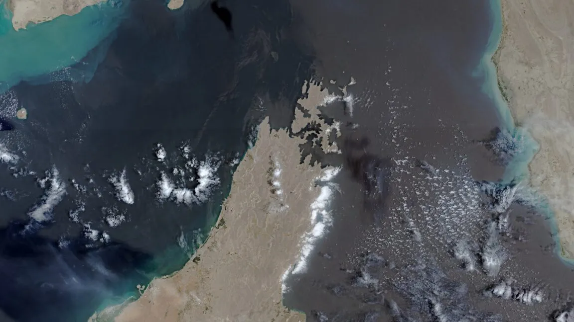
The European Union has started delaying the release of Copernicus satellite images covering the Gulf of Oman, including shipping lanes near the Strait of Hormuz, by 24 hours. The change follows an earlier US government request and comes as the Trump administration ramps up military strikes against Iran.
The European Union has begun delaying the release of Copernicus satellite images covering shipping lanes near the Strait of Hormuz by 24 hours. The delay applies to imagery captured by Sentinel-1 and Sentinel-2, and it targets the Gulf of Oman region that includes the routes leading to and from the contested waterway.
This is not a minor technical tweak. It is a disruption to a system built around “free and open” access, and it is tied to a specific chain of events involving the US government and renewed military pressure on Iran. The unusual change in Europe’s data policy for the Copernicus Earth observation program was revealed by Space News after it reviewed a copy of a Council of the EU decision dated July 13.
Here is what the EU is doing, plainly. Under the decision, the release of certain Copernicus images is postponed by a full day. Those images are not random scenes. They are satellite observations tied to Sentinel-1 and Sentinel-2, and the geographic scope is the Gulf of Oman. That matters because the Gulf of Oman is a funnel for maritime activity, including shipping lanes that feed into and out of the Strait of Hormuz. When you can see movements with near-real-time clarity, you can track risk, routing decisions, and operational patterns. When that clarity arrives 24 hours late, the “who knows what, when” balance shifts.
This delay is arriving after a prior US request for restriction. According to the decision document reviewed by Space News, the US government first asked the European Union to limit Copernicus satellite imagery on May 26. The timing is especially notable because the request landed during a shaky ceasefire period in the broader conflict context described by the source. That war period began on April 8 and ended on July 8.
The source also ties the latest policy change to what comes after the ceasefire ended. When July 8 passed, the US military resumed a broader campaign of military strikes following an announcement by President Donald Trump. In other words, the EU’s delay is not just about satellite mechanics or weather-related delays. It is about policy reacting to escalation dynamics, with the United States using its influence to alter how publicly available imagery can be used.
For executives and boards, the second-order implications are about information flow. Copernicus sits in the background of a lot of modern decision-making, even when people do not think of it that way. Logistics firms monitor maritime conditions. Risk teams track regional activity. Security analysts, researchers, and sometimes even markets look to satellite data as an external check on claims and timelines. A 24-hour delay does not erase the underlying events, but it changes their operational usefulness. It can turn “real-time” into “retrospective,” which is the difference between making a routing call today versus writing a report after the fact.
There is also a regulatory framing here that matters for anyone who works around global data governance. Europe’s Copernicus program has a reputation for being free and open. The source calls out that the delay is unusual specifically because it breaks with that free and open data policy, at least for the covered region and satellites. When a system known for openness gets narrowed on security grounds, other stakeholders start asking what else could be carved out later. That includes government agencies, commercial Earth observation services, and downstream analytics providers who rely on predictable access rules.
And then there is the geopolitical angle, which is where the stakes get sharp. This EU decision is explicitly linked to a US government request and to the Trump administration ramping up war with Iran again, in the source’s telling. That combination signals something to peers: during heightened conflict, policy can move quickly, and access rules can become another lever in the contest over situational awareness. For executives, the operational question becomes: how much of your risk, compliance, or monitoring stack depends on data that can be delayed by government decision?
If you are running a company that uses satellite-derived insights, manages shipping or insurance risk, or builds analytics on top of public Earth observation, this is a reminder that “public” does not always mean “unrestricted.” Even when the satellite still takes the picture, the release schedule can become part of the battlefield. The 24-hour delay is a concrete example of how rapidly that can happen when conflict intensity changes, and it is exactly the kind of regulatory wobble leaders should factor into their own information risk planning.
This story's Key Insights and Take-aways are locked.
Create a free account to unlock Executive Actions for one credit.
Register to UnlockAlways free for Executives Club members. Join the Club
More in Politics
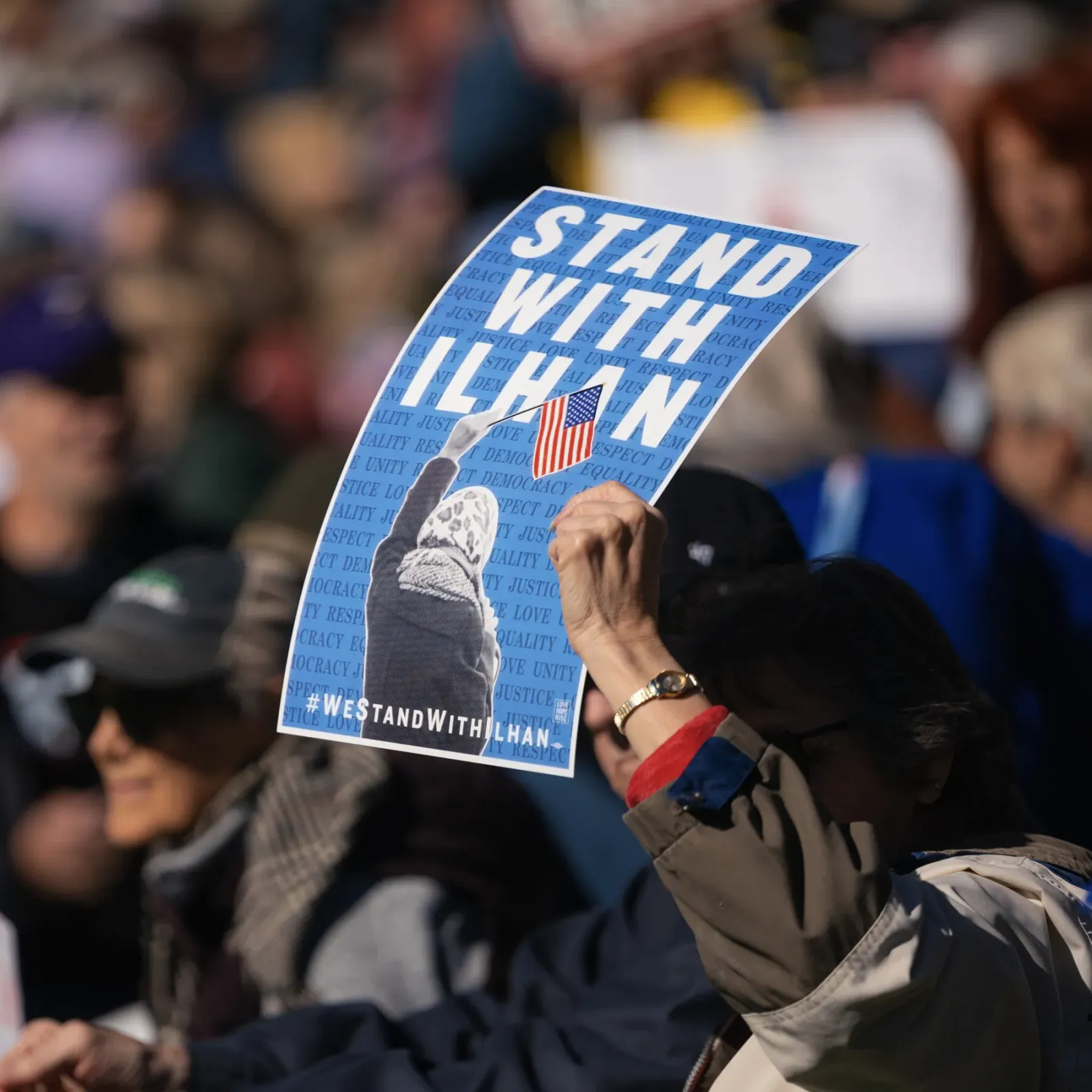
Obama Defends Ilhan Omar After Agents Search Her Home in Trump Inquiry
The former president's intervention raises the stakes in a federal probe into immigration paperwork that has put a prominent progressive lawmaker in the crosshairs.

Blair-era minister: cut welfare to fund youth job support
Alan Milburn's call for welfare cuts to fund employment support opens a Labour fight over benefits and the Neet crisis.
Hot September CPI: energy costs surge, voters feel the squeeze before midterms
The latest inflation print lands as Trump campaigns for GOP control of Congress, putting cost-of-living worries at the center of the midterm fight.