
NASA: Historic 2026 El Niño is 83% likely to be strongest since 1950
Satellite data shows warm water, rising seas, and a bluer Pacific - here's what the 83% odds mean for weather, food, and coasts.
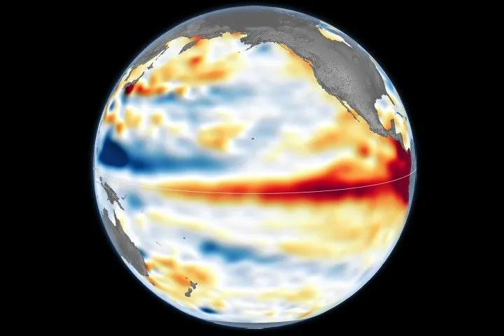
NASA scientists, tracking the 2026 El Niño with a fleet of satellites, report an 83% chance it becomes the strongest event since 1950. For decision-makers, that means heightened risk of extreme weather, disrupted agriculture, and coastal flooding across the Pacific basin.
NASA is tracking what could be the strongest El Niño since 1950, with NOAA putting the odds at 83% as of October. The agency's satellites have watched a chain reaction unfold across the equatorial Pacific: Kelvin waves, warmer seas, and a measurable shift in ocean color. This is not a routine climate event. It is rarer than a solar eclipse and more powerful than any single storm system, according to NASA.
The effects are already landing. Farmers, firefighters, and coastal communities are experiencing the fallout, NASA reports. For executives in agriculture, energy, insurance, and logistics, this is a near-term operational risk, not a distant climate story. The warm water is redistributing ocean heat, scrambling rain patterns, and raising sea surface height across parts of the Pacific, which means supply chains and property values could be in play before the year ends.
The first clue appeared in January 2026, when a Kelvin wave was spotted near Micronesia. Kelvin waves are slow-moving pulses of water thousands of miles long, acting like underwater freeways that transfer heat from west to east. That warm water heats the air above it, weakening or reversing the trade winds that normally blow from the Americas toward Asia. The result: sea levels in the eastern Pacific rise further, and waters warm even more. By early April, those waves had reached the eastern Pacific, lifting local sea levels by as much as 1 to 1.3 feet (30 to 40 centimeters) in some areas, while sea levels around Indonesia and northern Australia ran six to eight inches (15 to 20 centimeters) lower than normal.
Josh Willis, project scientist for sea level missions at NASA's Jet Propulsion Laboratory, put it simply: 'Kelvin waves are like the heartbeat of El Niño. And our sea level satellites let us peer into the ocean and watch every beat.' The Sentinel-6 satellites measure water height for the entire ocean every 10 days, down to fractions of an inch, extending an unbroken altimetry record that dates to 1993. Sea surface temperatures in the eastern Pacific are already about 3 degrees Fahrenheit (1.7 degrees Celsius) warmer than the long-term average, and Willis said they could jump another fraction of a degree in the coming months.
The ocean is also changing color. NASA's PACE satellite, launched in 2024, is tracking a measurable shift toward bluer hues along the equatorial Pacific. The reason: phytoplankton, the microscopic plants that form the base of the marine food web, are declining. They thrive in cool, nutrient-rich waters, but El Niño's weakened trade winds reduce the upwelling of deep, nutrient-rich water. With less food, phytoplankton abundance drops, which can force marine life to relocate and ripple through the food web. Matthew Kehrli, lead research scientist for the PACE team at NASA's Goddard Space Flight Center, said, 'Some people think of water as being just blue, but it's amazing the multitude of colors the ocean can be.' He added, 'You have expectations of what you would think would happen. But to visually see the results with the data products that you're working with in real time is gratifying.'
This is the first El Niño since PACE began observing, giving scientists a new hyperspectral view across hundreds of wavelengths. The data product, called apparent visible wavelength, simplifies the spectrum into a single number, and the 2026 maps show the green band along the equator shrinking as blue fills in. For businesses that depend on marine resources, from fisheries to tourism, this is an early warning signal that ecosystems are under stress.
NASA will keep monitoring with its fleet of Earth-observing satellites. Willis framed the bigger picture: 'El Niño touches almost all of us in some way every time it occurs. While many have seen what it can do, we look to the ocean to understand why.' For boards and CEOs, the takeaway is straightforward: the data is public, the odds are high, and the window to prepare is now. Whether it is coastal real estate facing higher sea levels, agricultural supply chains facing disrupted rain patterns, or insurers reassessing risk models, the 2026 El Niño is a live stress test for the global economy.
This story's Key Insights and Take-aways are locked.
Create a free account to unlock Executive Actions for one credit.
Register to UnlockAlways free for Executives Club members. Join the Club
More in Science
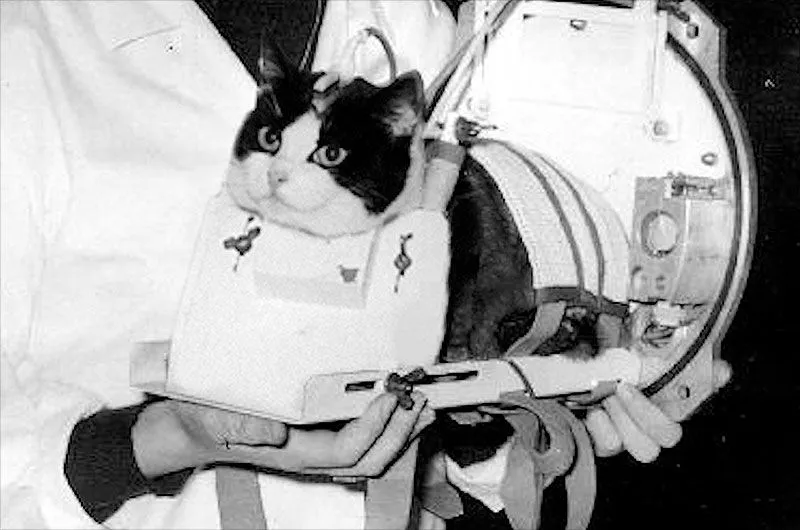
France euthanized Félicette, the first cat in space, two months after her flight
Félicette's 1963 flight made France a space-race player, but her euthanasia and a crowdfunded statue reveal how high-risk programs are remembered.
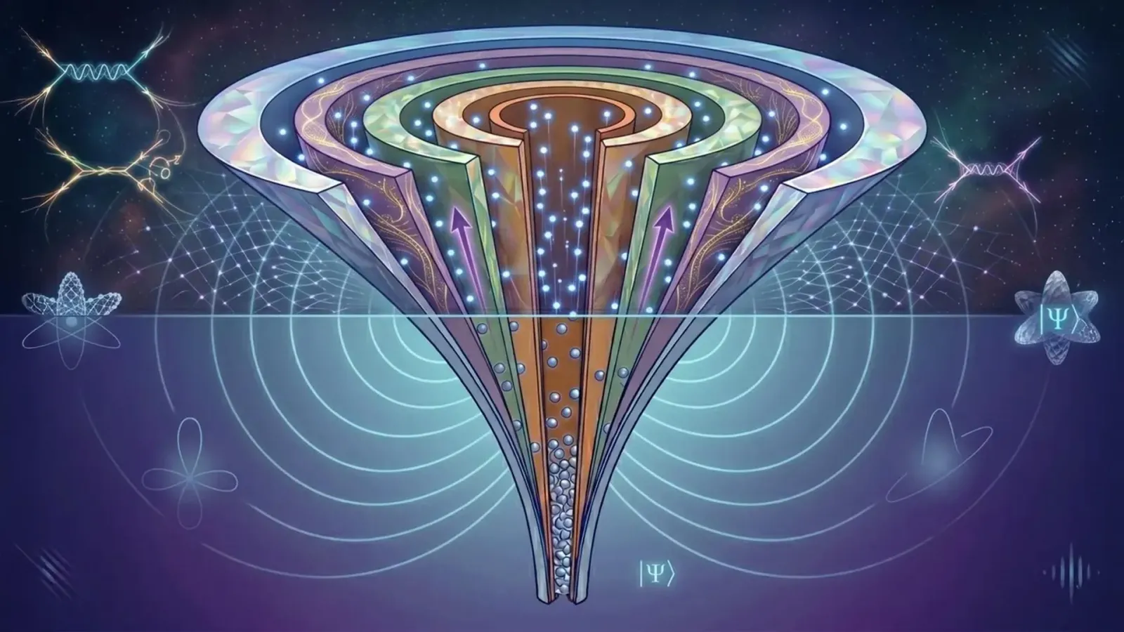
Ultracold atoms just created a 'fractional Fermi sea' that breaks quantum rules
A new quantum state challenges decades of theory and hints at 'super-Fermions,' with real stakes for quantum computing and materials science.

Bangladesh's 202,000 measles cases are a 'real warning' to other nations
The world's worst measles outbreak is spreading as routine vaccination falters. Here is why every country's immunization program should pay attention.