
PSI’s Hanna Sizemore maps Mars water certainty for near-equator human landing sites
New global maps quantify where subsurface ice is likely, and what missions and tools can prove it.

Planetary Science Institute (PSI) researchers Hanna Sizemore and Samuel Courville led two new papers creating global maps of subsurface water ice on Mars. The work also identifies what missions and instruments are needed to raise confidence that the maps are right, which matters for NASA's push toward human landings.
Mars has water ice. Everyone in the room knows that. The hard part is where that ice sits beneath the surface close enough to support future astronauts and their power needs, ideally nearer Mars' equator. Two new papers led by the Planetary Science Institute (PSI), by Hanna Sizemore and Samuel Courville, are built to answer the question that turns “cool science” into “mission design”: where should water ice exist, where should it not, and how certain are we right now?
Sizemore and Courville’s teams produced new global maps of subsurface water ice and backed them with statistical quantification of certainty. That matters because human landing is not a vibe, it is an engineering schedule with uncomfortable constraints. If you are trying to run operations on solar power, you do not want your habitat and life-support plans baked into the math of far-out latitudes. The closer the landing site is to Mars’ equator, the more “normal” the power story becomes. But normal power still needs water. So these maps are less about proving Mars has ice and more about improving confidence that astronauts could access water near plausible future landing zones.
There is also an incentives angle here that boards, program managers, and investors should recognize, even if they are not mapping planetary geology. In any high-stakes space effort, uncertainty behaves like a tax. It forces conservatism, adds redundancy, and drives up the cost of waiting for better data. A map that says “water might be here” is not the same as a map that says “water is likely here, and we know our confidence level.” By quantifying certainty, PSI is essentially converting unknowns into a measurable risk profile. That can change how a mission program allocates budgets across landing hardware, resource utilization planning, and follow-on instruments.
The PSI papers do not stop at producing a pretty visualization. They identify the missions and tools needed to increase the certainty of the maps. That is a big deal because it turns the output into a roadmap. Instead of one-time discovery, the work frames an iterative process: use initial global modeling, then task specific observations to validate and refine the picture. In practical terms, that approach helps decision-makers answer “what next” with less hand-waving. It also helps avoid a common failure mode in exploratory science programs, where the next step is chosen because it sounds interesting rather than because it sharply reduces the uncertainty that threatens mission success.
Why does this matter specifically for NASA’s plans for landing humans on Mars? The source makes the connection directly: as NASA looks toward landing humans on the red planet, it needs to understand where water should and should not be found. That is not just about scientific curiosity. Water is tied to mission logistics and life-support planning, and it is also central to the broader concept of using local resources rather than hauling everything from Earth. Even if the details of how each mission will leverage water are beyond what is stated here, the underlying logic is straightforward: you cannot build an operational plan on a guess.
And because the source emphasizes near-equator preference, the second-order effect is that the entire landing-zone conversation can become more data-driven. If future planning teams can point to statistical confidence levels tied to global subsurface ice maps, they can compare candidate sites with more rigor. That reduces the chance that teams get stuck in late-stage debates about whether the site “feels right” versus whether it is demonstrably consistent with expected subsurface water ice distribution.
For peers in similar roles, the strategic stake is simple. Whether you lead a space program, evaluate space tech partnerships, or invest in mission-enabling capabilities, confidence matters. Uncertainty is expensive, and it can also cause schedule risk. By delivering global maps of subsurface water ice and explicitly quantifying certainty, PSI is giving decision-makers something rarer than a discovery headline: a clearer risk picture and a path to reduce it with specific missions and tools. That is the kind of groundwork that makes future Mars landing decisions faster, smarter, and less dependent on luck.
This story's Key Insights and Take-aways are locked.
Create a free account to unlock Executive Actions for one credit.
Register to UnlockAlways free for Executives Club members. Join the Club
More in Science
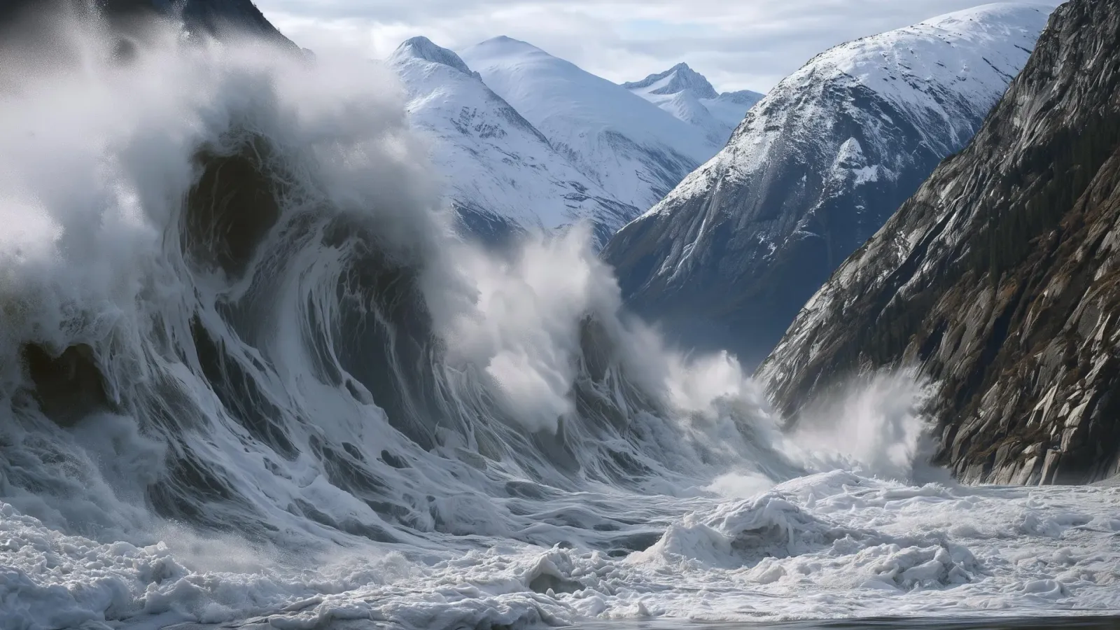
Alaska's 1,580-foot tsunami had warning signs. Scientists just found them.
Rapid glacier retreat, heavy rainfall, and thousands of tiny tremors preceded Alaska's 1,580-foot tsunami, a warning for every coastal community in a warming world.
The rare mutation that lets high-risk brains dodge Alzheimer's
Scientists found a natural defense against protein buildup, opening a new path to preventive treatments.

3,000 steps a day may halve Alzheimer's decline, study finds
New research links a modest daily walk to less tau buildup and nearly half the cognitive and functional decline, even for those with early signs.