
Niantic used Pokémon Go scans to train GPS-denied military drones and robots
A “pipeline runs from a mobile game to the battlefield,” turning player camera scans into navigation for defense contractors.
Niantic says it is using Pokémon Go player data, including AR mapping scans of physical spaces, to train AI tools for military drones and delivery robots. The development matters for decision-makers because it shows how consumer location capture can flow into GPS-denied defense operations.
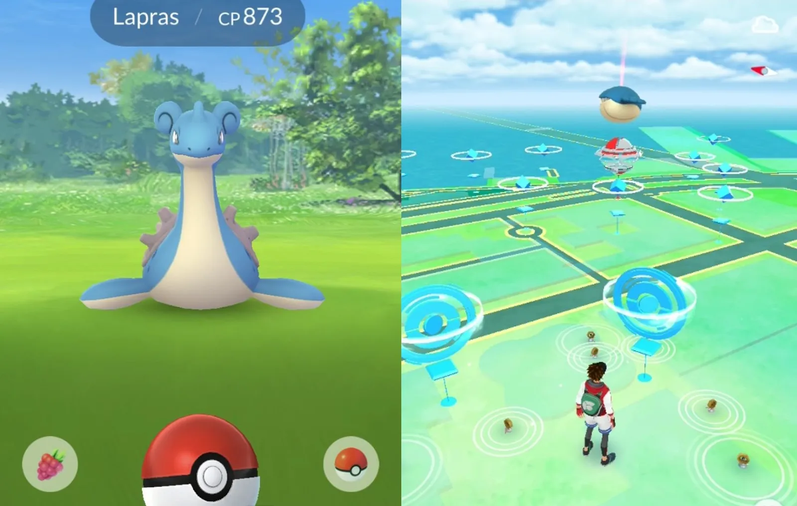
Pokémon Go was built to make people chase virtual creatures through their real neighborhoods. Niantic now says that same habit of scanning the world is feeding “aerial and ground capture devices” with the kind of geography-based data that can be used in US military drones and other military robots.
The core disclosure is straightforward: Niantic has been using player scans from the game, including tasks introduced in 2020 that rewarded users for scanning buildings with their mobile phones. Niantic Spatial, the company behind the technology, describes a “Visual Positioning System” that turns captured images into “a precise positioning and orientation sensor,” and a report says a US defense contractor will use that camera-based navigation model in drones and other military robots.
Here is why this is more than just a tech privacy headline. In GPS-denied environments, machines cannot reliably use satellite signals. Niantic Spatial’s framing is that robots, agents, and autonomous systems need “world models grounded in physics and geometry, not imagination.” In other words, the “physics and geometry” come from the real-world scans players generate, not from a fictional world or purely synthetic mapping. The training pipeline matters because it describes a repeatable path: turn consumer-grade capture into machine-grade localization.
The report cited in the original piece lays out the pipeline in three steps, credited to Dronexl. “Players scanned the physical world.” Then, Niantic Spatial “turned those scans into a 3D map” so a machine can locate itself “by sight when satellite signals fail.” Finally, the piece says that in December 2025, Niantic Spatial announced a partnership with Vantor, a defense and intelligence firm formerly known as Maxar Intelligence, to fuse Niantic Spatial’s ground-level system with Vantor's aerial navigation software for use in GPS-denied operations. The headline stakes are not hypothetical. The disclosure points to a concrete defense-oriented use case and an integration with an established defense and intelligence player.
For executives, the uncomfortable part is the incentive design. Pokémon Go introduced AR mapping tasks in 2020, offering rewards for scanning buildings using your mobile phone. The idea is simple: players get a reason to scan; the system gets imagery. That incentive loop turns everyday behavior into training data at a scale Niantic claims is enormous: “more than 30 billion captured images.” That is the kind of number that changes what can be done with a model, because it implies coverage and redundancy, two things that improve navigation and robustness.
The second-order implication is governance. When consumer apps generate camera, spatial, and localization datasets, the downstream question is not just whether the data can be used. It is who ultimately benefits from that capability, under what contractual structures, and for what operational context. The piece references reactions online that highlight the perceived “gross and unnatural” feeling of having to scan buildings for rewards, and it also includes anecdotes about people playing near or on military bases. You do not need to agree with any individual reaction to see the governance problem: data captured in a consumer game can end up in a defense pipeline that users did not consciously consent to in the way they might for a weapon or targeting system.
There is also a broader regulatory and policy angle, even though the original text does not name specific regulators. In most jurisdictions, privacy and data protection frameworks are designed around purpose limitation and consent. This disclosure spotlights a common tension: consumer AR experiences can blur lines between entertainment, mapping, and surveillance-adjacent capabilities. Even if a company argues it is using aggregated or de-identified forms of data for geolocation and navigation, the moment that navigation technology is tied to “GPS-denied operations” for military drones and robots, the compliance conversation changes. Boards should assume that regulators and auditors will ask harder questions about how consent language, data retention, security controls, and permitted use cases are defined and enforced across partners.
Strategically, peers should read this as a warning about supply chains of data, not just models. The “pipeline runs from a mobile game to the battlefield in three steps” is a template that other companies could follow, intentionally or unintentionally. If you are an operator, investor, or board member overseeing consumer technology, mapping tools, AR features, or any product that leverages camera capture and spatial computing, the Niantic disclosure is a reminder that “world models” are only as safe as the downstream use plan. If you ignore that, you risk building capabilities that later land in places your customers never thought were on the roadmap.
This story's Key Insights and Take-aways are locked.
Create a free account to unlock Executive Actions for one credit.
Register to UnlockAlways free for Executives Club members. Join the Club
More in Technology

Jeff Bezos’s Prometheus raises $12B to build an “artificial general engineer”
A $12B funding round values the physical AI startup at $41B, aiming to automate heavy engineering and drug design.

BougeRV’s T1 turns camping light into a 3,000-lumen travel gadget
A telescoping design with three LED arms doubles as a flashlight, mood light, and 57Wh USB-C power bank.

Apple’s WWDC AI push trades feature fireworks for usefulness, reshaping how buyers evaluate “smart” devices
Instead of a flood of eye-catching AI extras, Apple is trying to make existing work actually helpful to users.